Reserve and Resilience
About
Maritime Depot, Ferry Terminal and Resliency
Location
New York City, New York
Year
2024
Columbia University- GSAPP
Work Categories
Advanced Studio VI
Software
Rhino, Autodesk Revit, Autodesk AutoCAD, Adobe Photoshop, Adobe Illustrator, V-Ray.
Higher Sea levels and increasing coastal flood exposure pose growing challenges for the large population and major economic assets along New York City’s shoreline. Historically, severe coastal floods (both hurricanes and nor’easters) have struck the City, causing great harm.
Could issues of energy, ecology, together with cultural production be our framework for thinking about Architecture and Infrastructure?


The South Brooklyn Marine Terminal (SBMT), located in Sunset Park, adjacent to Industry City and Bush Terminals serves as the urban site. The designated New York Harbor areas for Empire Wind 1 & 2 (approximately 15-30 miles offshore) serve as the greater site field. The site history as an intermodal shipping, warehouse and manufacturing hub; encompasses 73 acres leased from NYC for a new station port assembly of wind turbine components.
With a rich maritime and industrial history, the site acts a base to reflecting on the past and looking into the future. The design and program allows us to enhance on that history while keeping the site as a backdrop but important layer.
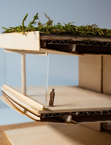

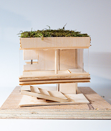

The design focuses on some real conditions on site to create ecological solutions to rising flood and storm water conditions on site.
The concept follows the methods of retention and detention for the collection of saline and fresh water without mixing the two and allowing the replenishing on the ground water table.


